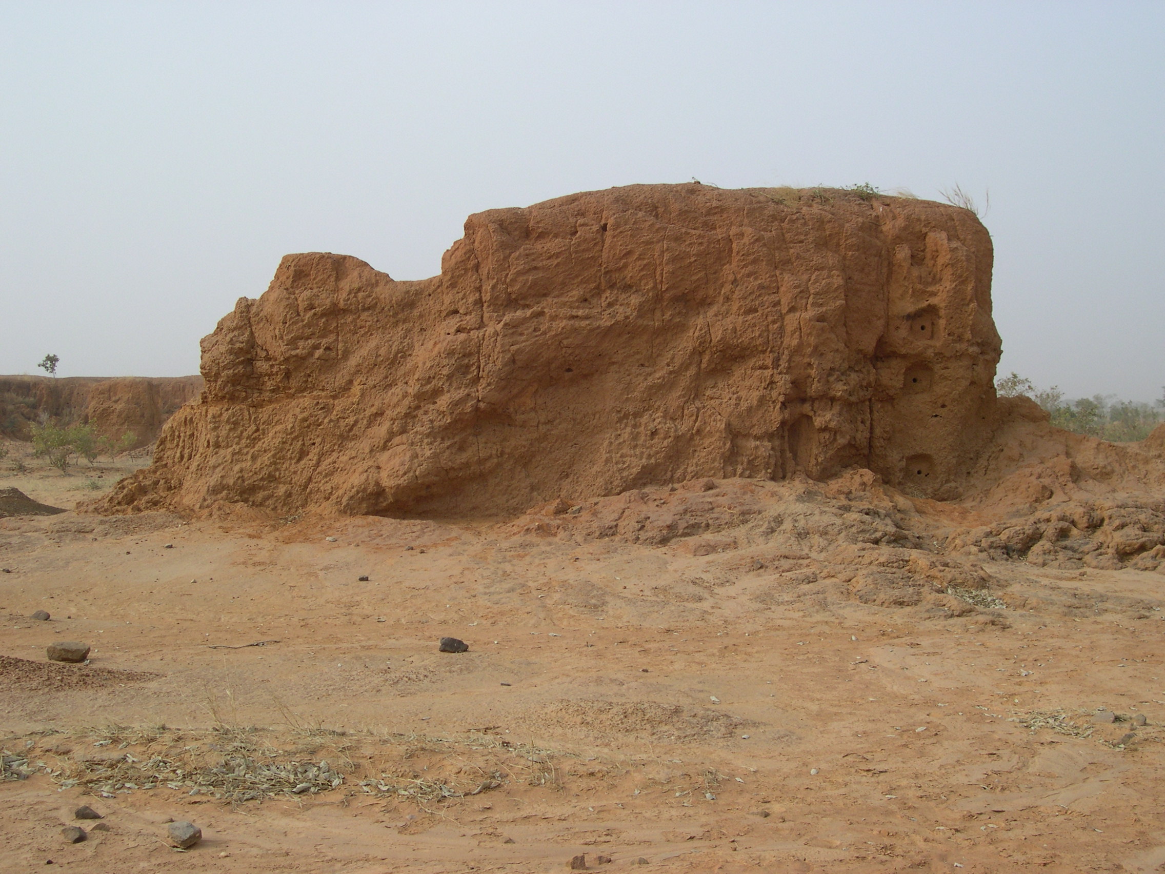
The earliest evidence for geomorphological evolution on the Bandiagara Plateau has been grouped under the name Unit 1. These are mainly coarse alluvial formations (composed of sandstone cobbles) sometimes covered with lateritic accumulations and often poorly preserved. Photo M. Rasse
In the lower sections, the Pleistocene stratigraphy demonstrates the repetition of phases of sedimentary deposition and phases of vertical incision, which reflects hydrological changes that took place on the plateau. We can also contrast the dominant fine-grained formations that are due to the deposition of eolian sediments, to which are added particles coming from reworking of surface formations or soils (U2, U3, U4, U5), with coarser alluvial formations, characterized mainly by sands and gravels (U1, channel base of U5, U6). The complexity of the geometry of the formations, as well as the difficulty in interpreting the stratigraphic correlations from one sector to another, very early on led to programs of absolute dating (by OSL). The results, however, confirm in general the field approach. Taking into account the different chronostratigraphic data, material earlier than OIS 5 is represented in the small Ménié-Ménié valley and at the Ravin Sud, limited apparently to a small amount of locally preserved gravelly sand and to some remains of alluvial formations (U1).
Above this, the Upper Pleistocene forms the majority of material that fills the relief developed in the sandstone:
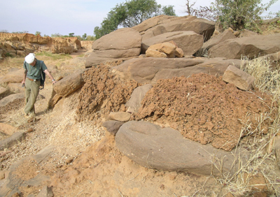
Unit U2 corresponds to a thick polygenic formation (prior to 60 ka) mainly composed of silts that concludes with a very clear paleosol (lower part of the photo). Photo M. Rasse
– The material from the U2 sedimentary unit is predominantly composed of extremely compacted whitish silts, for which an eolian origin is quite likely even if the particles have been often reworked, but alluvial bands of fine to medium particle size are also present. This unit is grosso modo earlier than 60 ka, but the base has not yet been clearly identified. While this unit is not uniform, it has specific characteristics that clearly distinguish it from the other formations, and in particular with respect to the deposits at the end of the Pleistocene. Tor-like forms established at the expense of these silts were observed early on, at Kokolo, Dandoli and Oumounaama, where the material is present as white buttes exhumed from earlier formations. The tor-like forms are associated with significant compactness that is itself in relation to the long pedological evolution that the material subsequently underwent: the whitish color, the high proportion of indurations and ferruginous pisolites (up to 3-4 cm in the lower sections) are favorable to the interpretation of complex pedogeneses with marked hydromorphy following illuviation in a well-drained context.
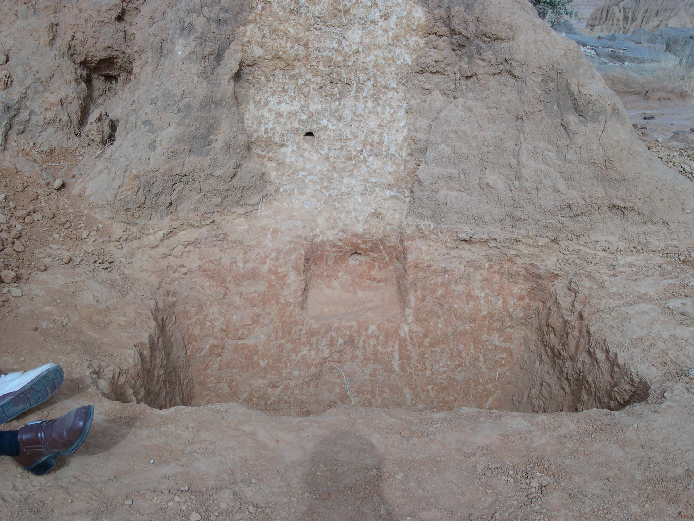
This photo illustrates the successive deposits from the 50 to 30 ka: on the sandstone, U3 (base of the section and left) is covered by U4 (lower half of the section) and then by U5 (in successive channels in the upper section). Holocene surface silts (at the top) show the topography of glacis-terrace-pre ravines. Photo M. Rasse
– Also discordant, the final formations of the Upper Pleistocene filled the valley. They have not all been directly dated, but stratigraphically appear to represent the interval between 30 and 18 ka. Unit U5, 40-30 ka, is formed of a highly silty sediment starting with a layer of coarse alluvium. This unit is differentiated from the underlying unit by its predominantly ochre-yellow color, even though some whitish layers suggest marked evolution under hydromorphic conditions, and, by its superficial erosion forms (“pads” or “bread crust” forms quite different from “curtains”) and erosion forms developed in the preceding material. In its turn, unit U6 is differentiated from unit U5 by a homometric granulometry of small gravels, reflecting a departure from fine-grained material and reworking of more active surface run-off, by its composition rich in reworked ferruginous pisolites, and by its much redder color. This new formation, as yet undated, ends the infilling phase for the valley at the end of the Pleistocene.
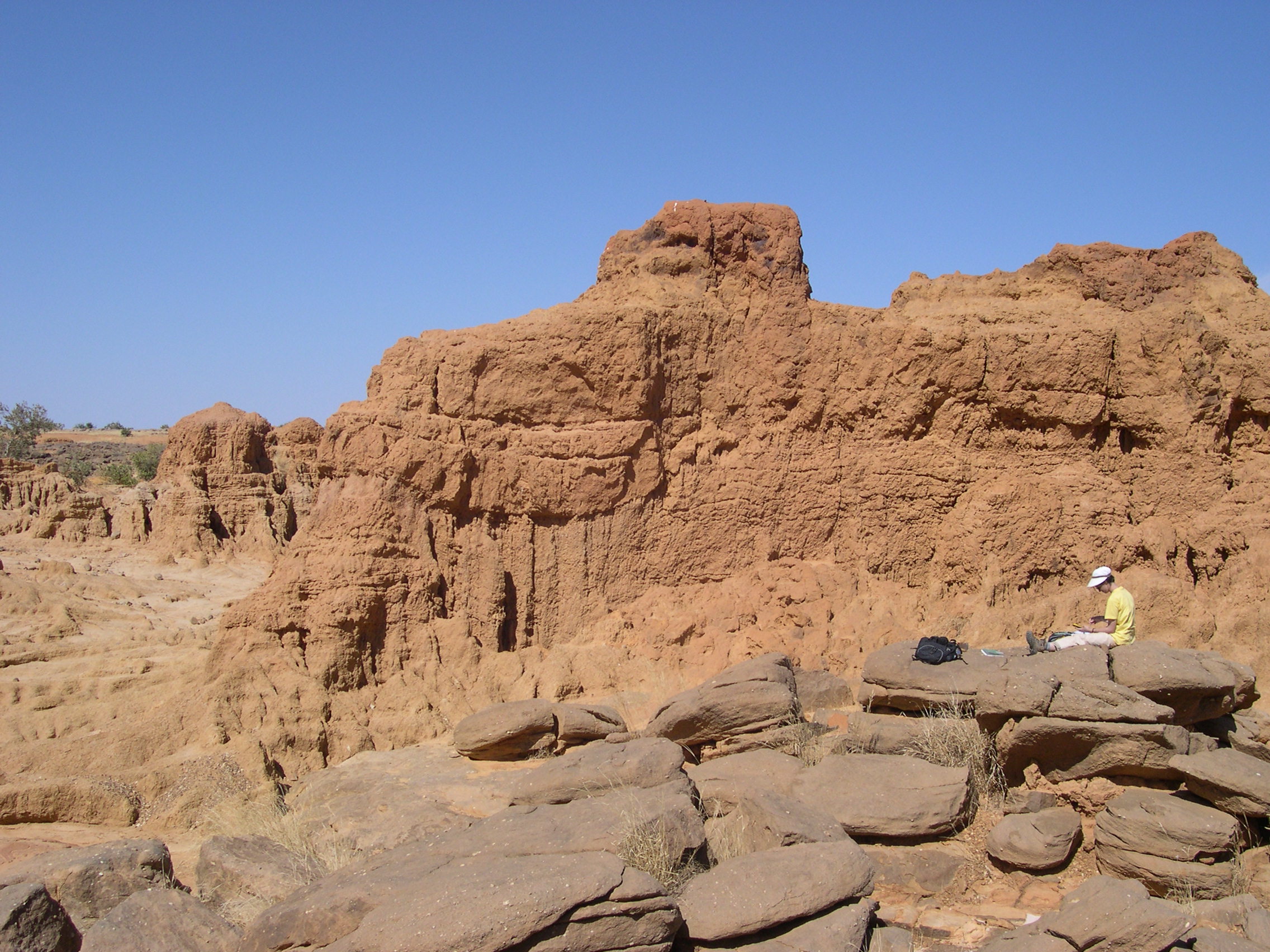
Only rare eolian formations are recognizable in the Ounjougou sector (here at Dandoli). They would evidence arid conditions during the Ogolian, but have not yet been investigated in detail. Photo M. Rasse
Around 20,000 BP, the Yamé Valley was completely filled; the topography was shallow near the main water course and soils were well-developed. The Ogolian arid episode, generally recognized between 20,000 and 15-13,000 BP (with the maximum probable between 19 and 17,500 BP), apparently ended this evolution. At Ounjougou, this period is represented only by some rare dunal formations (called U7 in our publications) that are found in the Dandoli-Kokolo sector.
From a strictly sedimentary viewpoint, a hiatus existed between the U6 deposit typifying the end of the deposition phase of the Upper Pleistocene and the first channel deposits of the Holocene, attributable to at least the 10th mill. BC.